Mapping Heat with Drones is an Innovative Climate Solution for Latin America’s Mega-Cities

As climate change intensifies, Latin America’s largest cities face escalating heat challenges. Innovative technologies, like drones mapping urban microclimates, offer new hope. This feature explores how cities like Mexico City, São Paulo, Buenos Aires, Bogotá, and Lima are leveraging these tools to combat urban heat islands.
Latin America’s sprawling metropolises—Mexico City, São Paulo, Buenos Aires, Bogotá, and Lima—are no strangers to the growing threat of urban heat islands (UHIs). These densely populated areas experience significantly higher temperatures than their rural surroundings, exacerbated by concrete, asphalt, and a lack of green spaces. As global temperatures rise, these heat islands are becoming more intense, making life increasingly unbearable for millions of city dwellers.
The need for innovative solutions is urgent. Fortunately, advancements in climate technology, such as drone-based microclimate mapping, are providing new tools to tackle these challenges. This feature delves into how these solutions could be applied to some of Latin America’s largest cities, each with its own set of climate issues, to mitigate the impacts of UHIs and improve urban living conditions.
A Growing Threat in Latin American Cities
Urban heat islands are a significant and growing problem in Latin America’s largest cities. In places like Mexico City and São Paulo, the combination of extensive urban sprawl, high population density, and limited green spaces creates the perfect storm for UHI formation. These cities are often several degrees warmer than their surrounding rural areas, particularly at night when heat absorbed during the day is slowly released from buildings and roads.
Mexico City, with its altitude and vast expanse, faces unique challenges. The city’s high elevation means cooler nights, but the daytime heat is intense, exacerbated by air pollution that traps warmth close to the ground. São Paulo, on the other hand, suffers from the “urban canyon” effect, where closely packed skyscrapers trap heat, preventing it from dissipating.
These UHIs not only make life uncomfortable but also have serious health implications. Heatwaves, which are becoming more frequent and severe, can lead to heat-related illnesses and exacerbate respiratory conditions, particularly in vulnerable populations. The economic impact is also significant, with increased energy costs due to higher demand for air conditioning and reduced productivity as workers struggle to cope with extreme temperatures.
In Buenos Aires, Bogotá, and Lima, the UHI effect is also prevalent, though each city has its unique set of challenges. Buenos Aires, with its humid subtropical climate, experiences intense heat during the summer months, which is amplified by the city’s dense urban fabric. Bogotá, despite its cooler climate due to its altitude, faces UHI issues in its rapidly growing urban areas, where green spaces are dwindling. Lima, situated in a desert, faces the dual challenges of managing UHIs and maintaining water resources, which are critical for cooling the city.
Revolutionizing Climate Mapping in São Paulo and Mexico City
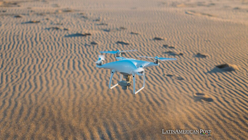
In the fight against urban heat islands, knowledge is power. Understanding where and how heat accumulates in a city is the first step towards developing effective mitigation strategies. This is where drone technology comes in. Equipped with thermal imaging cameras and multispectral sensors, drones can map the microclimate of a city in unprecedented detail, identifying hot spots and areas where interventions could be most effective.
São Paulo and Mexico City are ideal candidates for deploying this technology. In São Paulo, drones could fly over the city’s dense urban core, mapping temperature variations at different times of the day. This data could then be used to identify areas where “urban canyons” are most pronounced and where adding green spaces or reflective materials could have the greatest impact.
In Mexico City, drones could be used to map the sprawling metropolis, identifying areas where air pollution exacerbates the UHI effect. By combining thermal imaging with air quality data, city planners could develop targeted interventions that not only reduce temperatures but also improve air quality. For example, planting trees in specific areas could provide shade and cool the air while also filtering pollutants.
The potential of this technology goes beyond simply identifying hot spots. By mapping the city in 3D, drones can provide a detailed understanding of how different factors—such as building materials, street orientation, and vegetation—affect the urban microclimate. This information is invaluable for designing more resilient cities that can better withstand the impacts of climate change.
Addressing Buenos Aires, Bogotá, and Lima’s Unique Climate Challenges
While the technology and strategies may be similar, the application of these solutions must be tailored to the specific needs of each city. Buenos Aires, Bogotá, and Lima each present unique challenges that require customized approaches.
In Buenos Aires, where summer heatwaves are becoming more common, the focus could be on increasing the city’s green cover. Drones could help identify areas where parks and green roofs would be most effective in reducing temperatures. Additionally, the use of reflective materials on roads and buildings could be promoted in areas identified as UHI hot spots. The city’s humid climate means that cooling strategies must also consider humidity levels to avoid exacerbating the discomfort caused by high temperatures.
Bogotá, with its cooler climate, might not seem like a typical candidate for UHI mitigation, but the city’s rapid urbanization has led to significant temperature increases in certain areas. In Bogotá, the focus could be on preserving and expanding the city’s green spaces, which are under threat from urban development. Drones could help map the city’s remaining green areas and identify opportunities for new parks and green corridors. Additionally, the city could explore innovative solutions such as green walls and roofs, which could provide cooling benefits while also improving urban biodiversity.
Lima presents a different set of challenges altogether. As a desert city, Lima’s UHI issues are compounded by its arid climate and limited water resources. In Lima, the focus could be on water-efficient cooling strategies, such as using drought-resistant plants in urban green spaces and optimizing the use of greywater for irrigation. Drones could help identify areas where these strategies would be most effective, as well as monitor the impact of interventions over time.
Each of these cities can also benefit from cross-city collaboration. By sharing data and insights, cities can learn from each other’s experiences and develop more effective strategies. For example, Lima could look to São Paulo’s use of green roofs and reflective materials, while Buenos Aires could learn from Bogotá’s efforts to preserve urban green spaces.
Collaboration and Innovation
The challenges posed by urban heat islands are not unique to any one city; they are a regional and global issue. As Latin America’s largest cities continue to grow, the need for innovative solutions to manage their microclimates becomes ever more pressing. The deployment of drone technology for climate mapping represents a significant step forward, but it is only one piece of the puzzle.
To truly tackle the issue of urban heat islands, a holistic approach is needed. This includes not only technological innovations but also policy changes, public engagement, and international collaboration. City governments must prioritize climate resilience in their urban planning processes, ensuring that new developments are designed with the UHI effect in mind. This might mean revisiting zoning laws, incentivizing green building practices, or investing in large-scale urban reforestation projects.
Public engagement is also crucial. Residents and businesses must be made aware of the UHI issue and encouraged to take part in mitigation efforts. This could involve everything from planting trees in their neighborhoods to supporting policies that promote sustainable urban development. The success of these initiatives depends on the active participation of all stakeholders, from city planners to community members.
Finally, international collaboration will be key to addressing the UHI issue in Latin America. Cities should not be working in isolation; instead, they should be sharing data, strategies, and resources. This is particularly important as many Latin American cities face similar challenges and can learn from each other’s successes and failures. Regional organizations and international bodies can play a vital role in facilitating this collaboration, providing funding, expertise, and platforms for knowledge exchange.
As climate change continues to raise global temperatures, the challenge of managing urban heat islands in Latin America’s largest cities will only grow. However, with the advent of innovative technologies like drone-based microclimate mapping, there is hope that these cities can develop effective strategies to mitigate the impact of UHIs and improve the quality of life for their residents.
São Paulo, Mexico City, Buenos Aires, Bogotá, and Lima each face unique challenges, but they also can lead the way in developing climate-resilient urban environments. By embracing innovation, fostering collaboration, and engaging the public, these cities can turn the tide against urban heat islands and set an example for the rest of the region—and the world.
Also read: Collaborative Efforts to Combat the Cattle Screwworm in Latin America
The time to act is now. As Bernadette Karner, the project manager from Austria, aptly put it, “We have to act and we have to go down bolder and more innovative paths.” Latin America’s megacities must heed this call to action, leveraging cutting-edge technology and collaborative efforts to create cooler, more livable urban spaces for future generations.


