Honduras Turns Lasers on Copán’s Hidden Maya Past Before More History Disappears
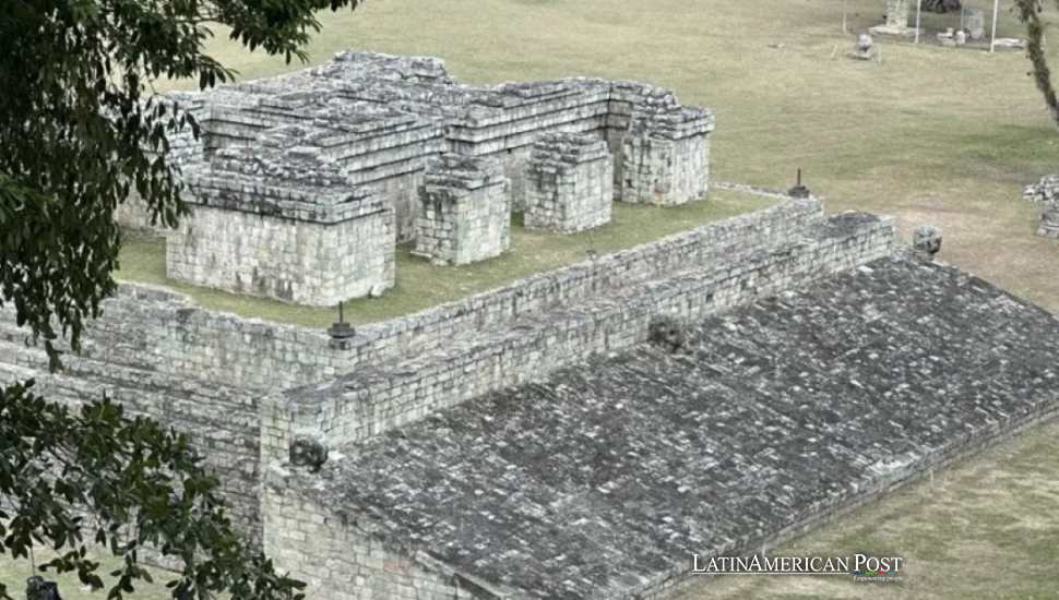
A drone survey at Copán in Honduras will seek hidden Maya structures and assess damage from farming and construction. Behind the search lies a harder question about whose history gets preserved when an ancient city shares ground with modern livelihoods.
The Ground Beneath the Postcard
In the forest around Copán, an inconspicuous rise can be easy to overlook. Japanese archaeologist Seiichi Nakamura told EFE that small mounds and tiny altars are especially difficult to identify beneath the vegetation. The monumental city visitors recognize is not the whole archaeological landscape.
Now researchers are preparing to survey 25 square kilometers, roughly 9.7 square miles, to update an inventory assembled about half a century ago. Those earlier archaeologists walked the valley, recording features individually. Their patient work supplies the reference against which the new measurements will be judged.
The instrument will not be aboard a satellite, despite EFE’s description. Nakamura describes an uncrewed helicopter carrying LiDAR equipment at altitudes of 80 to 100 meters (about 262 to 328 feet). The project combines archaeological knowledge with a Japanese company’s aerial scanning expertise.
As the U.S. Geological Survey explains, LiDAR calculates distances from returning laser pulses. Processing those measurements can separate vegetation from terrain. That helps reveal surface shapes obscured by trees, not see through solid earth. A promising mound remains a question for archaeologists, not an automatically identified temple.
Nor is this Copán’s first laser survey. Research published in the Journal of Archaeological Science: Reports documents an aerial survey conducted in 2013. The present initiative should therefore be understood as renewed documentation, not the sudden discovery of a city that generations of researchers somehow missed.
A Census of What Survives
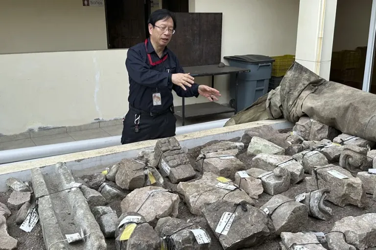
The older inventory recorded 3,588 structures, Nakamura told EFE. Spread across the proposed survey footprint, that corresponds to about 144 recorded structures per square kilometer. The average does not describe their actual distribution. It does show why managing Copán requires looking beyond its best-known monuments.
The comparison must distinguish discovery from survival. A larger inventory could conceal losses if newly recognized remains outnumber structures destroyed since the earlier survey. Finding another mound would expand knowledge, but it would not replace evidence that disappeared elsewhere.
Researchers will also need to check whether an apparently missing feature was destroyed, obscured, or recorded differently. Only then could mapped changes support a credible account of damage. A discrepancy between two surveys is the beginning of an investigation, not its verdict.
Nakamura told EFE that accidental destruction associated with farming and infrastructure is among the problems the project will assess. That places archaeology inside the working valley, where the same ground can carry ancient remains and present needs. Treating farmers as enemies would miss the practical challenge.
A useful map should help identify sensitive areas before a field is altered or a construction route chosen. Otherwise, protection arrives after the irreversible decision. The strongest conservation argument here is not that modern life must stop, but that decisions should be made with better knowledge.
Small structures invite different questions. A map dominated by spectacular monuments can make royal power look like the whole of society. Less conspicuous remains could help researchers investigate the spaces beyond those monuments, bringing the inquiry closer to people whose lives left fewer obvious traces on the landscape.
Nakamura also relays other archaeologists’ estimate that only 15 to 20 percent of Copán has been investigated. Taken at face value, that leaves 80 to 85 percent. But the estimate is not a measured inventory of buried objects, and a complete aerial map would not mean complete archaeological understanding.
The Tomb Beside the Road
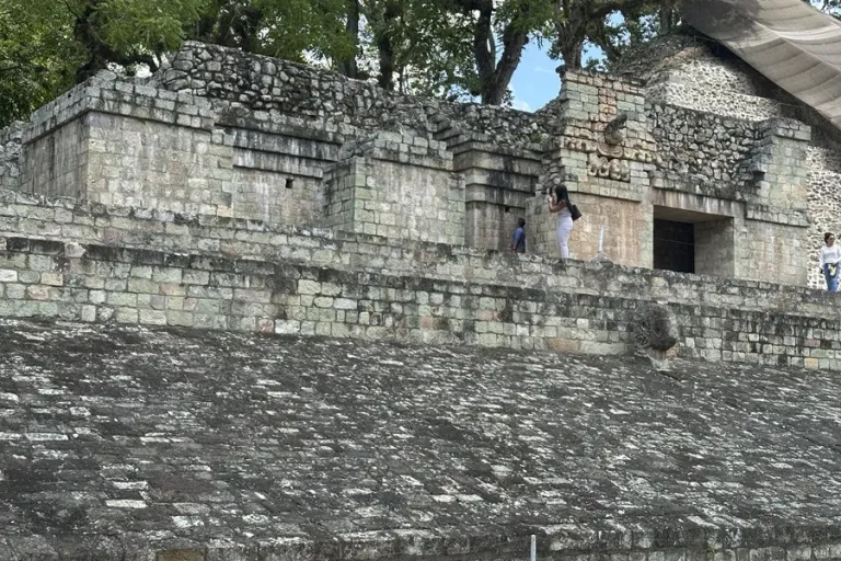
One discovery explains his caution about apparently empty ground. Nakamura told EFE that damage to a road after Hurricane Mitch struck Honduras in 1998 led to an investigation that unexpectedly uncovered an important tomb. It contained vessels and a jade pectoral he described as unprecedented in Maya archaeology.
He believes the remains belonged to one of Copán’s 16 dynastic rulers, possibly the sixth or seventh. That identification remains a hypothesis. The distinction matters: an extraordinary burial can be securely documented while the identity of its occupant remains unsettled.
The episode also exposes the uncomfortable relationship between damage and discovery. A broken road brought attention to what lay nearby. The new survey offers a chance to direct attention before another disturbance does. Its most valuable outcome might be a structure left safely in place, rather than immediately excavated.
Nakamura first came to Honduras in 1983 through the Japan International Cooperation Agency. In 1999, the Honduran government invited him to lead the Integrated Conservation Program for the Copán Valley. He also works at the Training and Conservation Center, according to EFE. His involvement spans more than four decades.
That continuity matters more than the novelty of a drone. Honduras needs people able to interpret the resulting maps and carry their findings into conservation decisions. International technology is most useful when it strengthens those capabilities rather than leaving behind a spectacular image and another unfinished inventory.
Working at Copán is “a great honor,” Nakamura told EFE, thanking Honduras and its anthropology and history institute. His enthusiasm is unmistakable. The survey’s harder promise is to make that admiration practical: discovering what survives, understanding what has vanished, and leaving the next generation evidence it can still examine for itself.
Also Read: Panama Turns Caribbean Sargassum Crisis Into Unexpected Weapon Against Deadly Malaria Threat