Mexico Tracks Tropical Storm Marie as Heat and Floods Split the Forecast
Tropical Storm Marie is strengthening off Mexico’s Pacific coast, threatening heavier rain and dangerous surf even as its center moves away. The storm’s wider lesson is harder to escape: Mexico now faces too much water and punishing heat at once.
A Storm That Does Not Need Landfall
From the water south of Baja California Sur, Marie was becoming more organized and more dangerous. At 9 a.m. local time, the National Meteorological Service placed the storm about 670 kilometers south-southwest of Cabo San Lucas, moving northwest at 15 kilometers per hour.
Its sustained winds had reached 110 kilometers per hour, with gusts of 140. Forecasters said it could strengthen into a hurricane during the day, possibly reaching Category 1 or 2 intensity before peaking as a Category 2 system on Thursday afternoon.
The projected track offered some relief. Marie was expected to remain offshore, passing south or southwest of Cabo San Lázaro and Punta Abreojos rather than driving directly into the Baja California peninsula. But on Mexico’s Pacific coast, distance is not the same thing as safety.
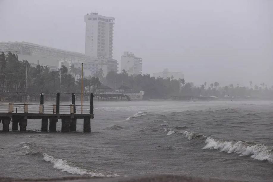
A tropical cyclone is larger than the dot placed at its center on a forecast map. Marie’s broad circulation was expected to reinforce heavy to very heavy rainfall in Baja California Sur and western Mexico, while also raising winds and surf. For fishermen, port workers and families living near steep arroyos, the question is not simply whether the eye crosses land. It is how much water arrives, how quickly it falls, and whether roads, drainage channels and small boats can absorb the punishment.
That distinction matters because Marie intensified rapidly after forming off Colima. In an earlier bulletin, its center was about 645 kilometers southwest of Manzanillo, with sustained winds of 75 kilometers per hour and gusts of 95. By the later update, sustained winds had increased by nearly 47 percent, while gusts rose at almost the same rate.
The storm was moving at the same northwestward pace, yet its internal power had changed sharply. A track can look stable while the hazard underneath it evolves. That is why civil protection officials urged precautions not only in Baja California Sur but also in Nayarit, Jalisco, Colima and Michoacán, where rain bands, rough seas and sudden flooding can reach communities far from the cyclone’s core.
Mexico’s Weather Map Tells Two Stories
Marie is only one part of a crowded national forecast. While its moisture spreads across the west, an anticyclonic circulation is sustaining very hot to extremely hot conditions across northern Mexico, the Pacific coastline, the Gulf of Mexico and the Yucatán Peninsula. The most severe heat wave is expected in parts of Tamaulipas, Nuevo León, Coahuila and Sinaloa.
At the same time, low-pressure channels and two tropical waves are feeding showers across the center, west, northeast, east, south and southeast. Tropical Wave 36 is entering the Yucatán Peninsula as Tropical Wave 35 advances through southern Mexico. The result is a country living through several weather regimes at once.
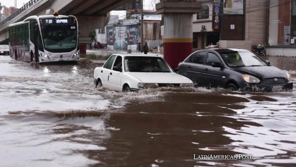
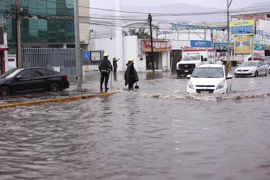
This apparent contradiction is central to Mexico’s climate vulnerability. A nation can face overflowing streets and water shortages, dangerous surf and overheated neighborhoods, sometimes on the same day. Rain does not automatically end drought, especially when it falls violently, runs off paved surfaces and disappears into drainage systems rather than replenishing reservoirs or aquifers.
Heat also changes the meaning of a storm. Families who have endured days of extreme temperatures may welcome cloud cover, then find themselves confronting flooded roads, power interruptions or damaged roofs. Informal workers cannot always stay home. Coastal businesses cannot simply pause for every distant cyclone. A warning therefore becomes as much an economic decision as a meteorological one.
Mexico’s geography deepens the imbalance. Mountain chains can force moisture upward and intensify rainfall, while dry northern states remain trapped beneath persistent heat. Tourism corridors, fishing communities, agricultural zones and rapidly expanding cities all experience the same storm differently. The national map looks unified. The danger is not.
The Thirteenth Name Carries a Warning
Marie is the thirteenth named storm of the 2026 eastern Pacific season. Mexico expects between 18 and 21 named cyclones in the basin, meaning roughly two-thirds of the forecast total has already formed. Authorities also anticipate that four or five systems could reach Category 3, 4 or 5 strength.
Marie is currently forecast to remain below that major-hurricane threshold, but its place in the seasonal count still matters. The number 13 does not prove the season will exceed expectations. It does show that the Pacific has been active, just as the meteorological service predicted in April under El Niño-influenced conditions.
Seasonal totals, however, can hide the human scale of risk. One storm may never make landfall and still close ports, erode beaches, isolate towns or trigger landslides. Another may be weaker on paper yet unload rain over a vulnerable hillside. Categories measure wind speed. They do not fully measure water, exposure, or poverty.
That is the deeper message behind the official calls for caution. Mexico is not waiting for a single dramatic impact. It is managing overlapping hazards across a vast territory, with hurricane conditions offshore, heavy rain in the west, tropical waves in the south and punishing heat across the north.
Marie’s center may continue turning away from land. Its circulation will not respect that reassuring line. Along Mexico’s Pacific edge, residents know the old lesson well: sometimes the storm that misses still leaves something behind.
Also Read: Colombia’s Earthquake Exposes Buenaventura’s Fault Lines Beyond the Shaking Ground