Guatemala Evacuates as Fuego Volcano Roars and Old Wounds Reopen
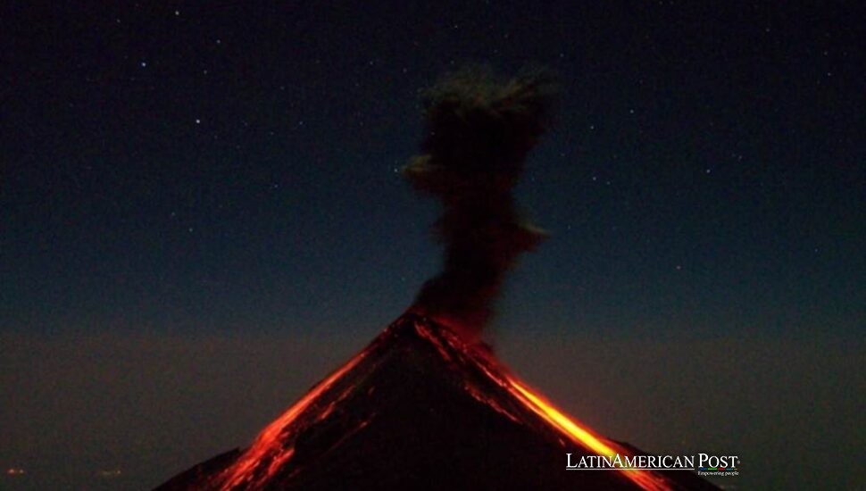
Guatemala’s Fuego volcano is erupting again, forcing families from vulnerable villages as lava fountains, ash clouds, and pyroclastic flows descend its slopes. The emergency revives memories of 2018 and exposes how geology, poverty, memory, and preparedness collide beneath one mountain.
The Mountain That Never Truly Sleeps
By nightfall, the mountain was throwing fire above its crater and sending something far more dangerous down its ravines.
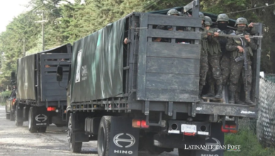
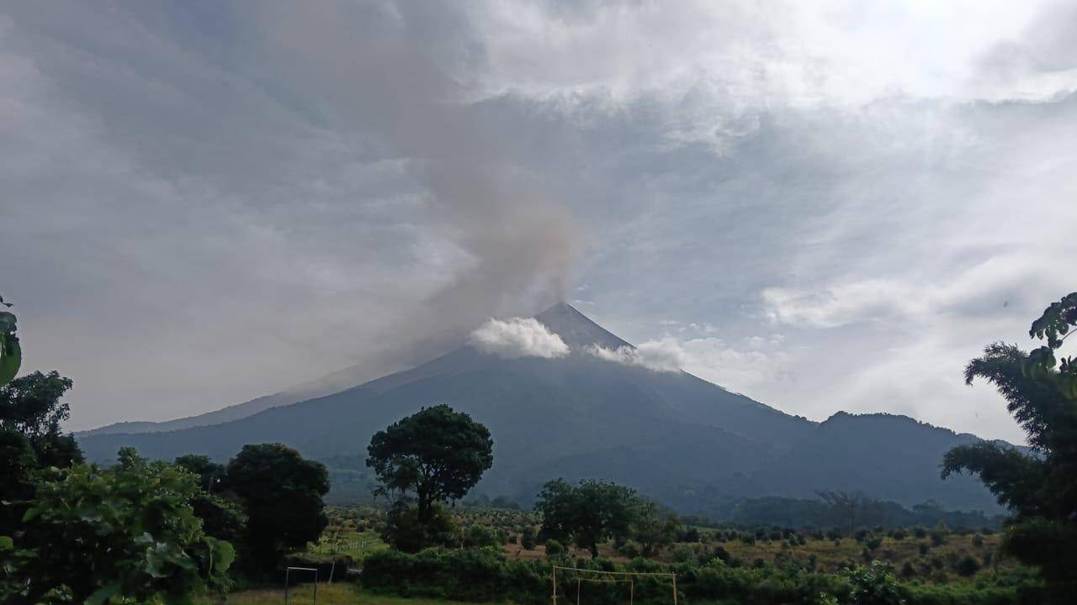
Families in El Porvenir and Las Lajitas were ordered out after activity intensified Monday. About 50 families, roughly 250 people, were included in the first evacuations. National Route 14 was closed, nearby classes were suspended, and Guatemala’s disaster agency declared an orange alert. INSIVUMEH reported lava fountains rising 200 to 300 meters, an ash column reaching about 5,000 meters above sea level, and pyroclastic density currents moving toward the Seca and Ceniza ravines. Ash was dispersing westward for approximately 40 kilometers.
For residents beneath Fuego, those measurements decide whether a child sleeps at home or in a shelter, whether animals remain behind, and whether the road back will exist. Evacuation is not movement on a map. It is choosing what can be carried in minutes.
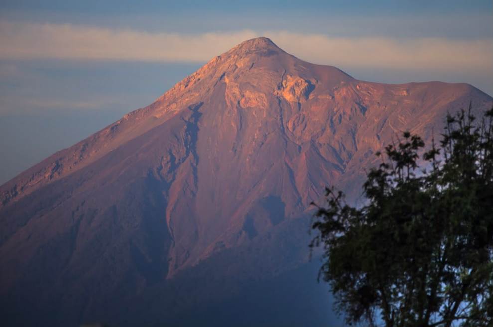
Fuego, a 3,763-meter stratovolcano near Antigua, has produced recorded eruptions since the sixteenth century and has remained vigorously active for much of this century. Frequent explosions create dangerous familiarity. Ash is swept from roofs and life continues, until the volcano’s behavior changes.
Fuego stands along the Central American volcanic arc, where the Cocos Plate sinks beneath the Caribbean Plate. Water and volatiles released at depth help generate magma, feeding the steep cone and its recurring explosive behavior.
That lesson was burned into Guatemala on June 3, 2018. Pyroclastic flows buried communities, destroyed roads and bridges, and killed hundreds, while many others remained missing. The catastrophe affected as many as 1.7 million people. Its deepest legacy is the knowledge that the interval between watching and fleeing can become brutally short.
Why Pyroclastic Flows Terrify Scientists
Lava receives the photographs, but pyroclastic flows produce the nightmare.
They are mixtures of superheated gas, ash, pumice, and broken rock that hug the ground and accelerate down steep slopes, usually through valleys. The U.S. Geological Survey says such currents commonly move faster than 80 kilometers per hour and can reach temperatures between 200 and 700 degrees Celsius. They shatter walls, ignite fires, bury buildings, and kill through burns or inhalation.
At Fuego, topography is destiny. Barrancas draining the cone can channel destructive currents toward inhabited land. A person cannot outrun one. A vehicle may not escape if visibility disappears, roads clog, or a bridge lies in the flow path. CONRED’s warning to avoid ravines is a life-saving boundary.
The lava fountain signals energetic gas release. Magma rising inside a stratovolcano carries dissolved gases. As pressure decreases near the surface, those gases expand, fragmenting magma into ash and incandescent material. A pyroclastic flow can form when an eruption column becomes too dense to remain aloft, when material boils over the crater, or when unstable lava collapses. Below, the result can look the same: a dark, racing cloud with almost no survivable space inside it.
Ash creates a wider circle of damage. Fine particles can irritate eyes and lungs, contaminate uncovered water, reduce visibility, damage crops, disrupt electricity, clog machinery, and threaten aircraft engines. Even a thin layer can interrupt transportation and communications. When wet, ash becomes heavier, increasing danger to weak roofs.
The current eruption has not been shown to match 2018. That distinction matters. Monitoring identifies changes and probabilities, not certainties. Damage will depend on the eruption’s duration, the volume released, which ravines carry it, where winds move ash, and whether heavy rain reaches fresh deposits.
Evacuation Is Science Made Human
Rain may become the next danger after the crater quiets.
Fresh ash and volcanic debris can mix with intense rainfall to form lahars, fast mudflows resembling wet concrete. They gather rocks, trees, soil, and wreckage downhill, damaging bridges and roads and sometimes burying farmland or communities beyond the volcano’s slopes. After the 2018 eruption, rain-driven lahars continued damaging infrastructure.
This threat is especially serious during Guatemala’s rainy season. An eruption may end in hours while the landscape remains unstable for months. Recovery crews, farmers, and returning families can face danger after television cameras leave.
The larger problem is social. Volcanic soil is fertile, tourism creates income, and generations have built lives around Fuego. Telling communities simply to move ignores land, work, kinship, and poverty. Yet leaving families without transport, shelters, warning systems, and trusted communication turns residence into exposure.
Guatemala has strengthened monitoring since 2018, including seismic and infrasound networks. But instruments save lives only when warnings travel the final mile and people can leave without losing everything. Preparedness means maintained escape routes, shelters with water and medicine, support for animals and crops, and plans for people without private vehicles.
The evacuation of El Porvenir and Las Lajitas should not be judged by whether catastrophe follows. If nothing worse happens, leaving was still correct. Prevention often looks excessive only because it succeeded.
Above the shelters, Fuego continues its old work, building and destroying the same landscape. Below it, Guatemala faces a newer task: refusing to let familiarity become fatalism. The mountain cannot be negotiated with. Risk can be reduced, one warning, one open road, and one family moved in time.
Also Read: Peru Confronts Nazca Air Tragedy and Tourism’s Safety Blind Spot